Google and the Gates Foundation committed at least $100 million to expand AI-backed agriculture tools toward 200 million smallholder farmers, a scale-up that matters only if better data becomes trustworthy advice people can actually receive and use. Announced September 18, the program targets Sub-Saharan Africa and South Asia with field mapping, local weather intelligence, crop research, and language infrastructure.
Evidence note: researched September 19, 2026, from the joint announcement, Google technical updates, and independent reporting by AP and The Indian Express. Toolsfine did not test the models, field tools, or farmer outcomes. Reach, funding impact, accuracy, and future deployments remain claims or goals unless otherwise stated.
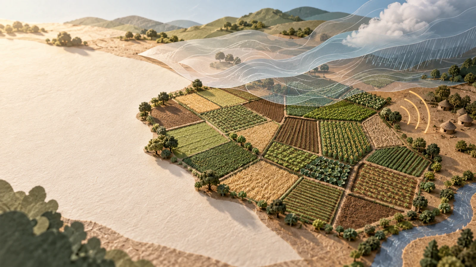
At a glance
| Question | Current answer |
|---|---|
| What was announced? | An expanded multi-year program for climate, agriculture, and language AI tools. |
| When? | September 18, 2026. |
| What is the target? | Scale from an initial reach of 50 million to 200 million smallholder farmers. |
| Where? | Sub-Saharan Africa and South Asia. |
| How much support? | At least $100 million in combined funding, plus Google research and engineering support. |
| What remains unproven? | Independent evidence that the full program will achieve its reach and outcome targets. |
What Google and the Gates Foundation announced
The joint announcement says funding and technical support will go to organizations that turn forecasts, satellite observations, crop science, and language data into services for farmers. Named partners include Wadhwani AI and Digital Green in India, CGIAR research centers, the Masakhane Research Foundation, and Digital Umugunda.
The program is not one chatbot. It connects several layers: TomorrowNow for operational climate information; an Agricultural Understanding Platform for mapping field boundaries and monitoring crops; regional research on drought-, heat-, and disease-resistant varieties; and open speech and text datasets covering more than 40 African languages. The stated reach is a goal for a multi-year roadmap, not a count of people already using one finished product.
How the technical stack is supposed to help
Small and irregular plots can be difficult to distinguish in conventional satellite products. Google says its models can map field boundaries at sub-meter resolution and monitor crop cycles using overhead imagery. Its Agricultural Land Use layer currently covers India, Malaysia, Vietnam, and Indonesia, with deployments underway in six African countries, according to the launch material.
A separate weather layer aims to translate broad forecasts into local decisions: when to plant, irrigate, protect a crop, or prepare for heat and heavy rain. Language datasets are intended to make that information available through speech and text rather than requiring every user to read English or operate a complex dashboard.
There is evidence of the underlying components moving beyond a laboratory. In an August update, Google reported that Telangana integrated its agriculture datasets into a state data exchange serving an ecosystem around more than five million farmers. Google also described uses in crop-stress alerts, land-record reconciliation, water planning, and FAO agricultural statistics. These are vendor-reported deployments, not independent proof of the new 200-million target.
Why delivery is harder than building a model
The practical bottleneck is the last mile. AP reporting from Malawi found that an agriculture chatbot could provide useful local-language advice, yet many farmers lacked smartphones, literacy, reliable electricity, or connectivity. A human support agent often carried the phone, explained the answer, and helped a group act on it.
That example changes the success metric. A mapped field or accurate forecast is only an input. The useful output is timely, crop-specific guidance delivered in a trusted language and channel, with a way to question or correct it. The new funding’s attention to regional institutions and open language data is therefore central, not an accessory to the AI.
Accuracy, governance, and equity risks
A wrong entertainment recommendation is inconvenient; a wrong diagnosis of crop disease can cost a season’s income. AP’s Malawi reporting documented concern that one serious error could destroy trust. Programs should publish validation results by crop, region, season, and language, and route uncertain or high-impact advice to trained agricultural experts.
Field maps and crop histories can also affect eligibility for credit, insurance, subsidies, or public support. That makes data quality, consent, correction rights, access controls, and appeal processes important. Communities need to know who can see farm-level records, how long data is retained, and how a farmer can challenge a mistaken boundary or crop classification.
Independent reporting adds a governance question. AP’s coverage of the foundation’s wider AI pledge noted criticism that privately directed access can still exclude marginalized groups. Meanwhile, The Indian Express described Google’s two-layer mapping and crop-monitoring approach but also emphasized that the base data is necessary rather than sufficient. Local agronomy, public institutions, and farmers’ own knowledge still decide whether an intervention fits.
What implementers should verify
- Measure outcomes, not registrations: track whether advice arrives on time and improves decisions, resilience, or income.
- Test locally: validate every crop, language, and region across seasons before scaling consequential recommendations.
- Design for weak infrastructure: support voice, low-bandwidth delivery, offline workflows, and human extension agents.
- Protect farm data: define consent, retention, sharing, correction, and appeal rules before linking records to benefits.
- Publish failures: disclose error rates, missed alerts, harmful advice, and the process for rapid correction.
Bottom line
The Google–Gates initiative is notable because it funds a chain of practical infrastructure rather than presenting one general-purpose model as the answer. Field maps, forecasts, crop research, local-language data, delivery channels, and human support all have to work together. The 200-million figure is an ambitious target, not a result. Its credibility will depend on independent measurement, farmer control over data, transparent error reporting, and evidence that the tools improve real decisions under real rural constraints.
Sources
- Gates Foundation and Google: AI resources for 200 million farmers — September 18, 2026.
- Google: Scaling agri resilience from India to the world — August 26, 2026.
- Associated Press: Gates Foundation warns AI could widen inequality — September 15, 2026.
- The Indian Express: AI and traditional farming can coexist — September 6, 2026; updated September 8, 2026.
- Associated Press: How AI is helping small-scale farmers weather climate change — September 12, 2025.